Ask a longtime resident where to walk near Indian Land and you'll almost always hear the same answer: Anne Springs Close Greenway. It's the name that shows up in every relocation guide, every "best of" roundup, and every YouTube video about moving to the area. And it deserves some of that reputation. It just isn't the trail most Indian Land residents actually use on a Tuesday evening, and it isn't even the trail that starts closest to home (read our full guide on living in Indian Land: commutes, errands, and everyday convenience).
The greenway's mailing address is 250 Dairy Barn Lane, Fort Mill, SC. Getting there from most Indian Land neighborhoods means driving past your own county park to reach a nonprofit preserve that charges for entry. The trail that actually begins inside the park where half the neighborhood already goes for Saturday rec soccer is called the Twelve Mile Creek Trail, and it does something the more famous greenway doesn't: it walks you across a state line without you ever getting back in a car.
What the Two Trails Actually Cost You
The comparison matters because the two are constantly mentioned in the same breath, as if they're interchangeable versions of the same thing. They aren't.
Anne Springs Close Greenway | Twelve Mile Creek Trail | |
|---|---|---|
Address | Fort Mill, SC | Walnut Creek Park, Lancaster County |
Cost | Day-use fee, or $49 to $99 for an annual membership | Free, no pass or membership |
Trail mileage | Roughly 40 miles across 2,100-plus acres | Roughly 3.5 to 3.7 miles one way |
Surface | Mixed natural trail plus lakes for paddling | Natural surface with boardwalks and small bridges |
Standout feature | Lake Haigler, open for kayaking and canoeing | A suspension bridge that crosses into North Carolina |
Dogs | Leashed | Leashed |
The scale difference is real. Anne Springs Close is a genuine regional preserve, and forty miles of trail through 2,100 acres is not something a county park can match. But it's also not what most people are looking for on a random weeknight. They want something close, free, and long enough to be worth the drive to the trailhead. That's the gap Twelve Mile Creek Trail fills, and it fills it from inside a park most residents have already visited for reasons that have nothing to do with hiking.
What's Actually at Walnut Creek Park
Before the trail, there's the park itself, and it's worth describing plainly because it doesn't get much attention on its own. Walnut Creek Park is a 60-acre facility run by Lancaster County Parks and Recreation. It has lit and unlit baseball and softball fields, soccer fields, tennis courts, pickleball courts, two playgrounds, and covered picnic shelters, along with restrooms and a park office. None of that requires a membership card. These are public county courts and fields, the same kind of facility you'd expect to find in any established suburb, and they sit on the same acreage as the trailhead.
That last part is easy to miss. The trail doesn't require a separate trip. If you're already at the park for a soccer game or a pickup tennis match, the Twelve Mile Creek trailhead is behind the park along Hancock Road, with a second access point at the Carrington Drive bridge inside the Walnut Creek neighborhood. You don't plan a hiking trip. You just keep walking after the game ends.
The Part That Actually Crosses a State Line
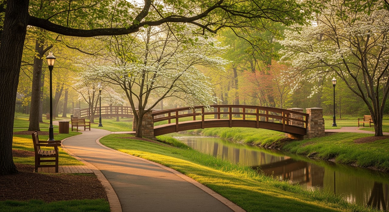
The trail itself runs along Twelve Mile Creek for about 3.5 to 3.7 miles of natural surface, roughly three to four feet wide with a cleared shoulder on each side, threading through boardwalks and small bridges built with Lancaster County grant and matching funds. It's open from dawn to dusk, and the rules are straightforward: walkers and mountain bikers are welcome, pets must be leashed, and there are no motorized vehicles or horses.
At the north end, the trail does something no other stretch of path in Indian Land does. A suspension bridge, reported at 170 feet by some trail directories and 180 feet by others, spans the creek and carries the trail directly across the South Carolina line into North Carolina. It's not a metaphorical border crossing or a sign planted at a property edge. It's a functioning piece of trail infrastructure that two counties in two states maintain because the same creek runs through both of their park systems.
What's on the Other Side
Cross the bridge and the trail doesn't just end at a state line marker. It becomes the Twelve Mile Creek Greenway, a roughly 0.7-mile natural-surface stretch that winds through the Millbridge neighborhood before opening onto Millbridge Parkway. From there it turns into a paved greenway through the Prescot neighborhood and continues into Town Creek Park in Waxhaw (read our guide to everyday life in Waxhaw). A second trailhead sits at H.C. Nesbit Park on H.C. Nesbit Park Road, giving Waxhaw residents their own entry point into the same connected system.
All of it is part of the Carolina Thread Trail, a regional greenway network that links parks and natural areas across 15 counties in the Charlotte region. That's the detail that turns a neighborhood park trail into something bigger. Walnut Creek Park isn't an isolated amenity. It's one entry point into a system that already reaches from Lancaster County into Waxhaw, with room to keep growing as more segments get built.
If you want the practical version before you go:
- Main trailhead: Behind Walnut Creek Park, accessed from Hancock Road
- Secondary access: On-street parking near Carrington Drive in the Walnut Creek neighborhood
- Northern trailhead: H.C. Nesbit Park in Waxhaw, NC, if you'd rather start from that side
- Hours: Dawn to dusk
- Surface: Natural, with boardwalks and bridges; not stroller-friendly in every section
- Rules: Leash required for pets; no horses or motorized vehicles
Why the Name Confusion Happens in the First Place
Part of why Anne Springs Close gets all the credit is that Indian Land itself doesn't have a formal municipal name on the map the way Fort Mill or Waxhaw does. It's an unincorporated community in the northernmost part of Lancaster County, which means most of its landmarks, including Walnut Creek Park, carry a Lancaster, SC mailing address even though nobody who lives here calls it Lancaster (explore our insights on new construction in Indian Land). Search for the park by its official address and you'll get a result that looks like it's somewhere else entirely.
That's a small, specific reason a genuinely local trail stays under the radar while a preserve with a proper town address becomes the default answer. It has nothing to do with which trail is better and everything to do with which one is easier to find on a map.
The Actual Takeaway
If you're new to the area and someone tells you the trail to know is Anne Springs Close Greenway, they're not wrong. It's a legitimate regional asset with paddling, horseback riding, and far more mileage than any county park trail can offer. But if what you actually want is something you can walk to after a Saturday morning soccer game, free of charge, with the strange small thrill of ending up in a different state without planning a road trip, that trail already exists inside Walnut Creek Park. It just doesn't have a marketing budget.
Knowing which landmarks carry more name recognition than actual convenience is the kind of detail that only comes from spending real time in a specific corridor, not from reading the same three "best of" lists everyone else copies. If you're weighing a move to Indian Land, or trying to figure out which parts of the Panhandle actually fit how you want to spend your weekends, that's the kind of ground-level read local real estate expert Jeremy Ordan and the team built this business on. Whether you're searching for Indian Land homes for sale or evaluating what your current home is worth, start your next move with a trusted team. Reach out today to talk through your plans.
Related Blog Posts
- Living in Indian Land: Commutes, Errands, and Everyday Convenience
- For Years Indian Land Residents Drove to Charlotte for a Costco: That Changed Last Fall
- New Construction in Indian Land: What Buyers Should Know
- Everyday Life in Waxhaw: From Main Street to New Homes
- Moving to Fort Mill from Charlotte: What to Expect
- Relocating to Charlotte: How to Choose the Right Suburb