Looking for easy ways to get outside in Matthews? Whether you want a shaded place to push a stroller, a quiet loop for your morning run, or a low-stress bike route to downtown, you have options close to home. Matthews invests in a network of parks and greenways that serve daily life, not just weekend adventures. In this guide, you will learn how the system works, what to expect on local trails, and practical tips for buyers and sellers who value green space. Let’s dive in.
How Matthews parks and greenways fit together
Parks and greenways in Matthews are planned and maintained by the Town of Matthews Parks & Recreation. That local leadership handles day-to-day operations, permits, and reservations. Many trail connections also link into regional planning led by Mecklenburg County Park & Recreation and the Carolina Thread Trail, which coordinates multi-jurisdiction routes across the Charlotte area. The result is a local network that can connect neighborhoods to downtown Matthews and, where complete, to broader regional corridors.
Funding for parks and greenways often blends town budgets, bond programs, grants, donations, and public–private partnerships. State and federal programs can support trail construction and bridges, especially where greenways provide transportation benefits. When you see a project labeled “planned,” it may not be funded yet; “funded” or “under construction” signals a clearer path to completion. Understanding that vocabulary helps you interpret project announcements with confidence.
Types of parks and trails you will find
Downtown and community parks
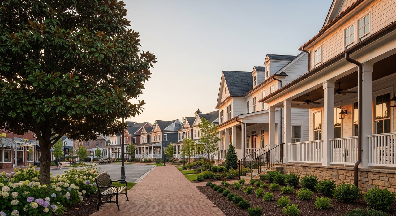
Community parks near downtown usually offer playgrounds, open lawns, picnic areas, and gathering spaces. You can expect features like shelters, benches, and water fountains, and in many cases a short paved loop for an easy walk. These parks often host town events or concerts that bring neighbors together. If you are planning a party or photo session, check reservation rules in advance.
Neighborhood parks
Neighborhood parks tend to be smaller, with simple amenities such as a playground, small court, or open field. They are great for quick outings and after-school play. Expect basic seating and limited parking, often along adjacent streets. These parks are designed for short, frequent visits close to home.
Natural areas and preserves
Matthews includes creek corridors and riparian buffers that function as nature spaces with lower-intensity use. Trails here may be natural surface or a mix of boardwalk and paved segments, especially where floodplains make bridges or elevated paths helpful. These areas support wildlife habitat and stormwater benefits while offering quiet walking routes. After heavy rain, some segments can close or flood, so plan accordingly.
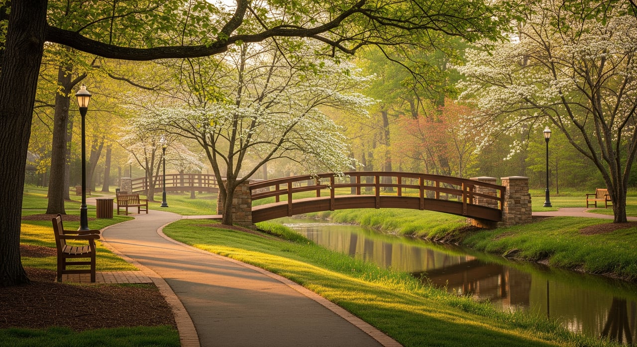
Greenways and multi-use trails
Greenways are the backbone of car-free travel in town. Most are paved and suitable for walking, running, and biking, with gentle grades that make them welcoming for a wide range of users. Many greenways connect neighborhoods to downtown and, in some locations, tie into the regional Carolina Thread Trail network. Expect clear trail rules, posted hours, and wayfinding signage at major access points.
Sports complexes and fields
Sports complexes can include baseball or softball diamonds, multi-use fields for soccer or lacrosse, and sometimes court facilities. These sites may have restrooms, concessions during events, and larger parking lots to handle league play. If you are coordinating team practices, check for field reservation policies. Weekend schedules can fill fast during tournament season.
Dog parks, pocket parks, and gardens
Dog amenities vary by location, but most parks follow standard on-leash rules unless a site is clearly posted as off-leash. Pocket parks and community gardens provide small green spaces and social hubs where land is limited. They are perfect for a quick break, reading a book, or chatting with neighbors. Always follow posted hours and pet waste rules to keep these shared spaces clean.
Pick your perfect outing
Best options for families with kids
Look for parks with restrooms, shaded seating, and a flat paved loop. Many community parks near downtown fit this profile and make transitions easier for naps, snacks, and diaper changes. Bring towels or a blanket for grassy areas after rain, since natural areas can stay damp. Start with shorter loops and expand as your family grows more comfortable.
Bike-friendly segments
Paved greenways are your best bet for a low-stress ride. These routes often follow creeks and avoid steep hills, which keeps grades gentle for kids and casual cyclists. Check for continuous segments that minimize on-street gaps if you are riding to downtown or a community event. Use a bell and call out when passing to keep the path courteous and safe for everyone.
Running and fitness
If you want a predictable surface and measured distance, choose paved greenway sections or flat loops at community parks. Natural-surface trails can add variety and lower impact, but watch footing after storms. Early mornings offer cooler temperatures and lighter use. Consider an out-and-back route to match your target mileage.
Know the rules and logistics
Hours, permits, and reservations
Town-maintained parks and greenways operate under posted hours and rules. Picnic shelters, athletic fields, and any commercial uses usually require permits or reservations through the Parks & Recreation department. Check event calendars before big weekends since facilities may be fully booked. Carry a photo of your reservation confirmation if you have one.
Parking and access
Parking options range from small surface lots to on-street spaces near neighborhood parks. If a lot is full, do not block driveways or emergency access points. Some trailheads connect through neighborhood sidewalks, so plan your start and finish where you can park legally and safely. Bring water if there are no fountains on your chosen segment.
Pets and etiquette
Leashes are typically required unless a space is clearly designated for off-leash use. Keep pets to the right, clean up waste, and avoid retractable leashes in crowded areas. Yield to slower users and give audible cues when passing. Respect posted rules on smoking, alcohol, and amplified sound.
Safety and maintenance
Common safety features include open sightlines and periodic patrols, especially in busier areas. Report maintenance issues, downed branches, or vandalism to the town so crews can respond. After major rain events, expect temporary closures on flood-prone segments. Check signage at trailheads for detours and seasonal notices.
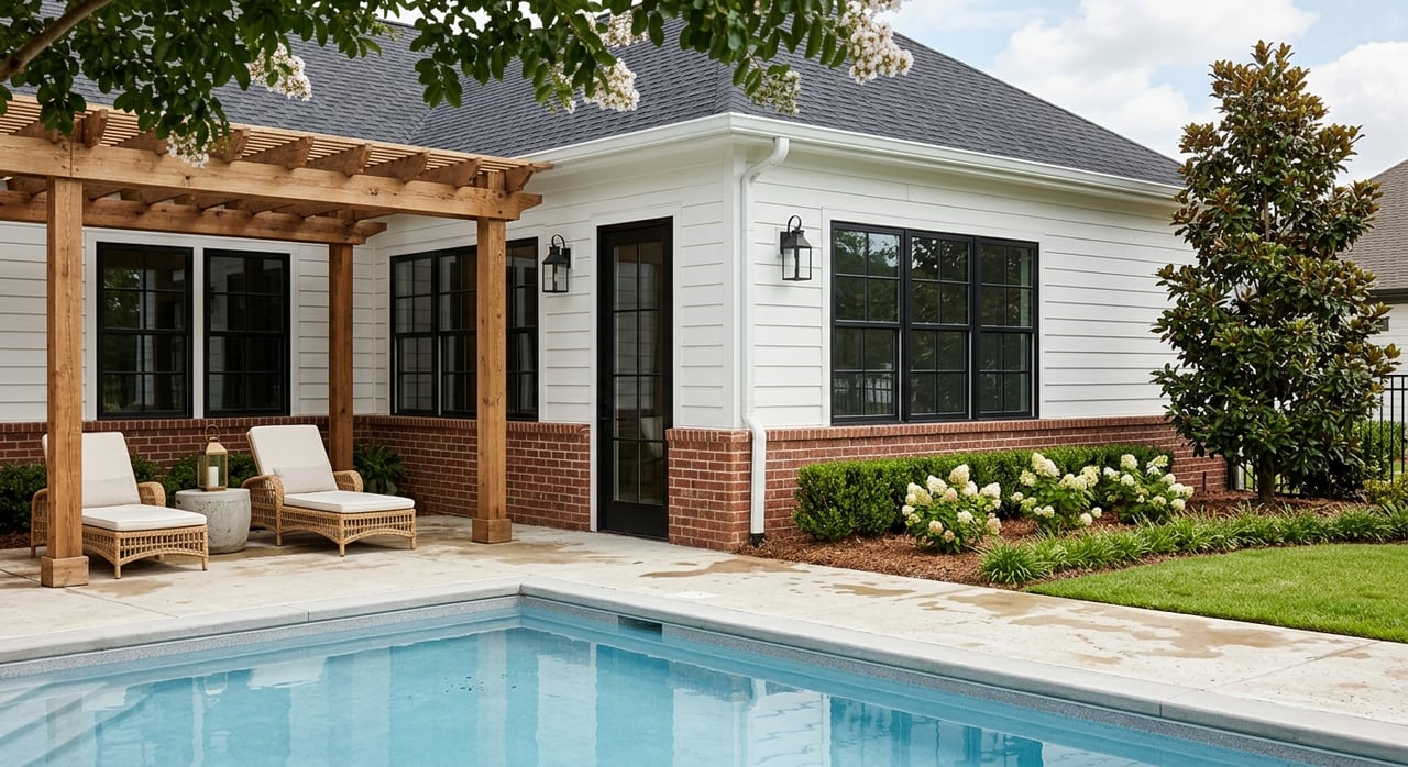
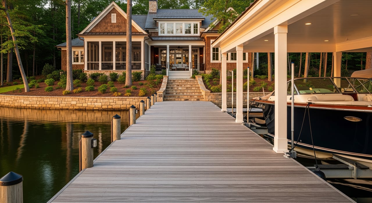
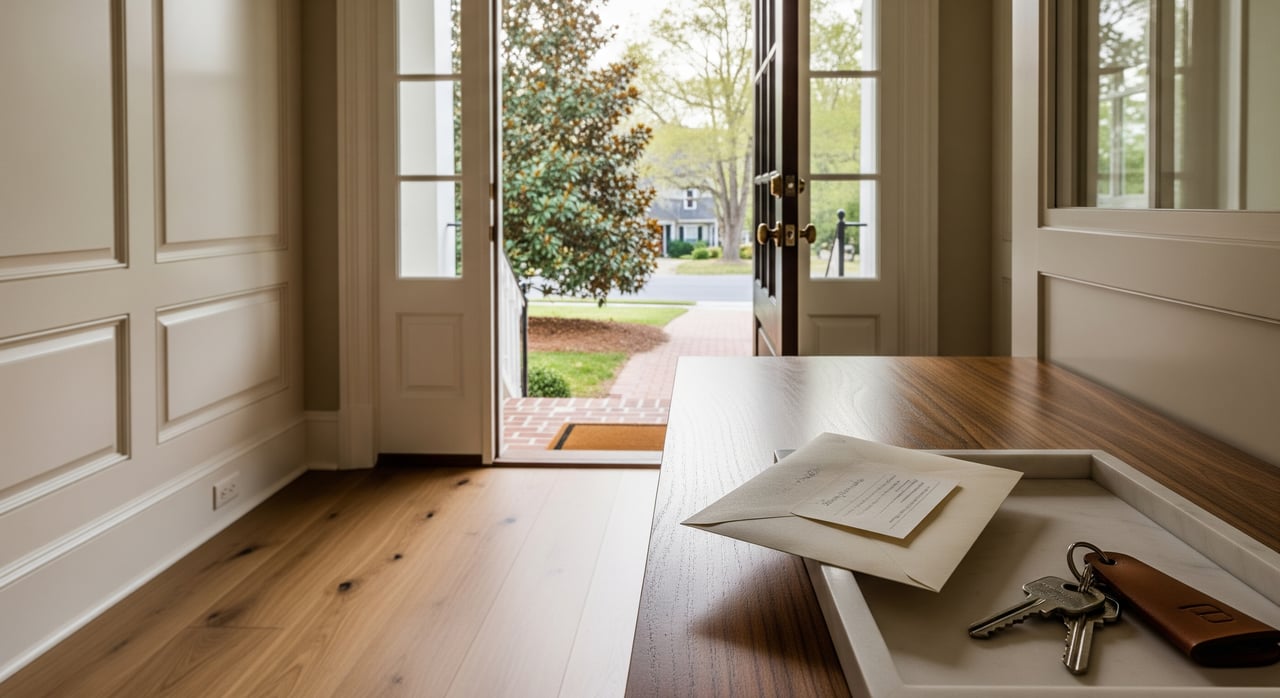
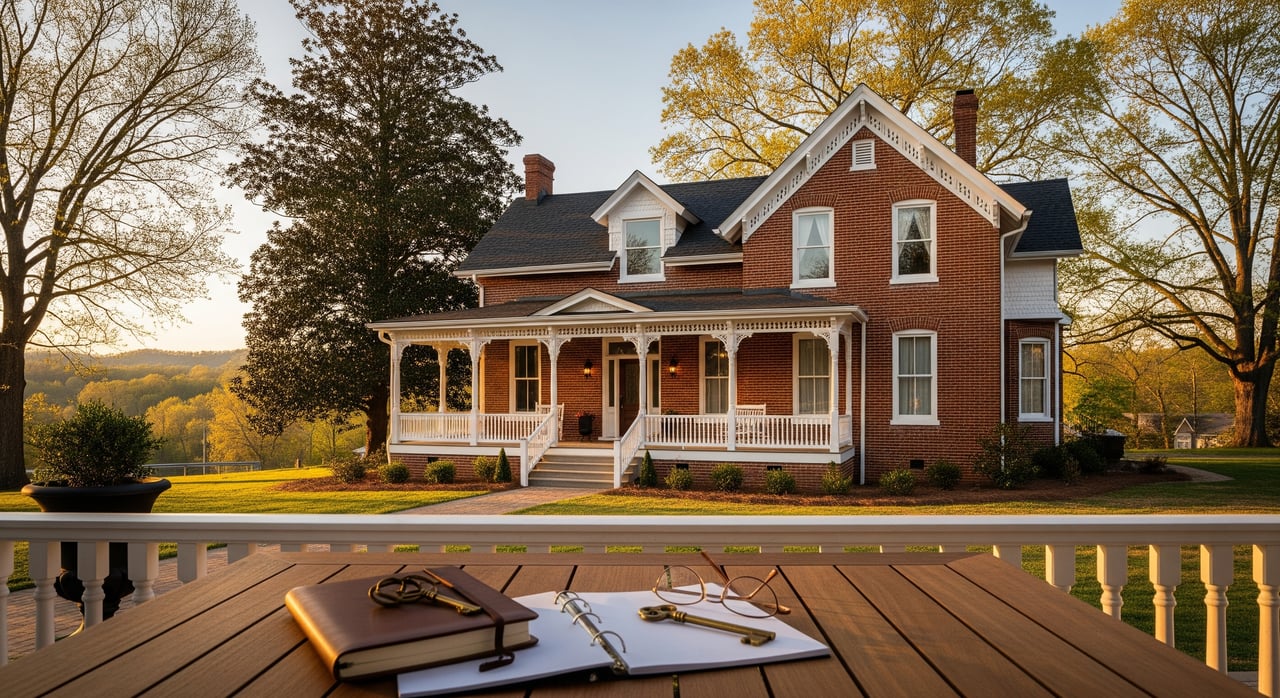
Living near a greenway: buyer tips
Access to green space supports daily routines like jogging, dog walks, and bike trips to downtown. Many buyers value the ability to reach parks and shops without a car, especially along continuous trail segments. When comparing homes, look at the quality of the route, not just the distance on a map. A short, low-stress path can be more useful than a longer route with gaps.
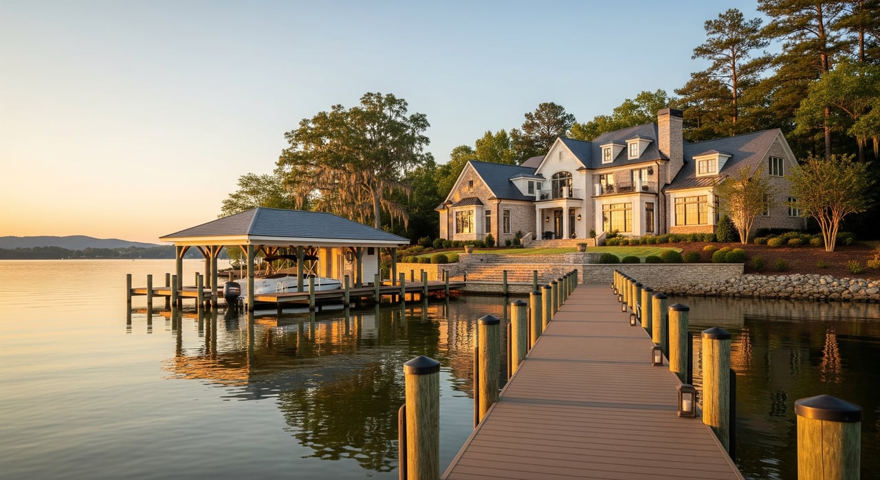
Greenways often follow creeks and floodplains, which provide ecological benefits and cooling shade. If you are considering a home near a creek, review FEMA flood maps and local stormwater resources during due diligence. Confirm HOA restrictions that affect fences, sheds, or gates facing a greenway. Ask about scheduled maintenance, lighting, and whether any future trail connections are planned nearby.
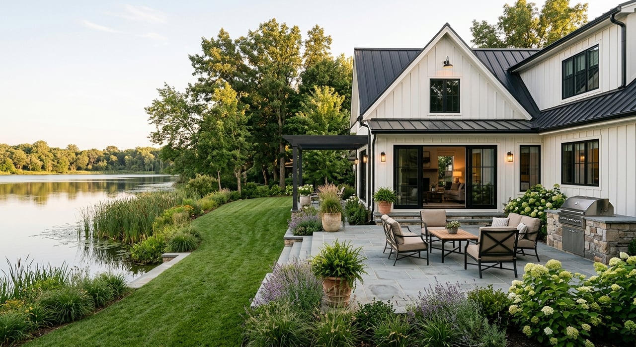
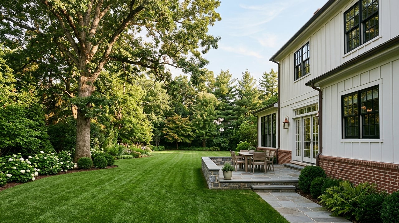
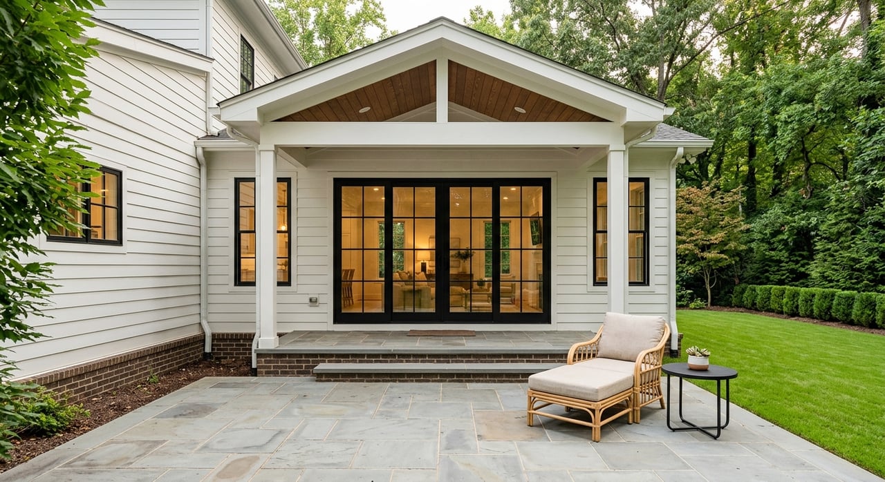
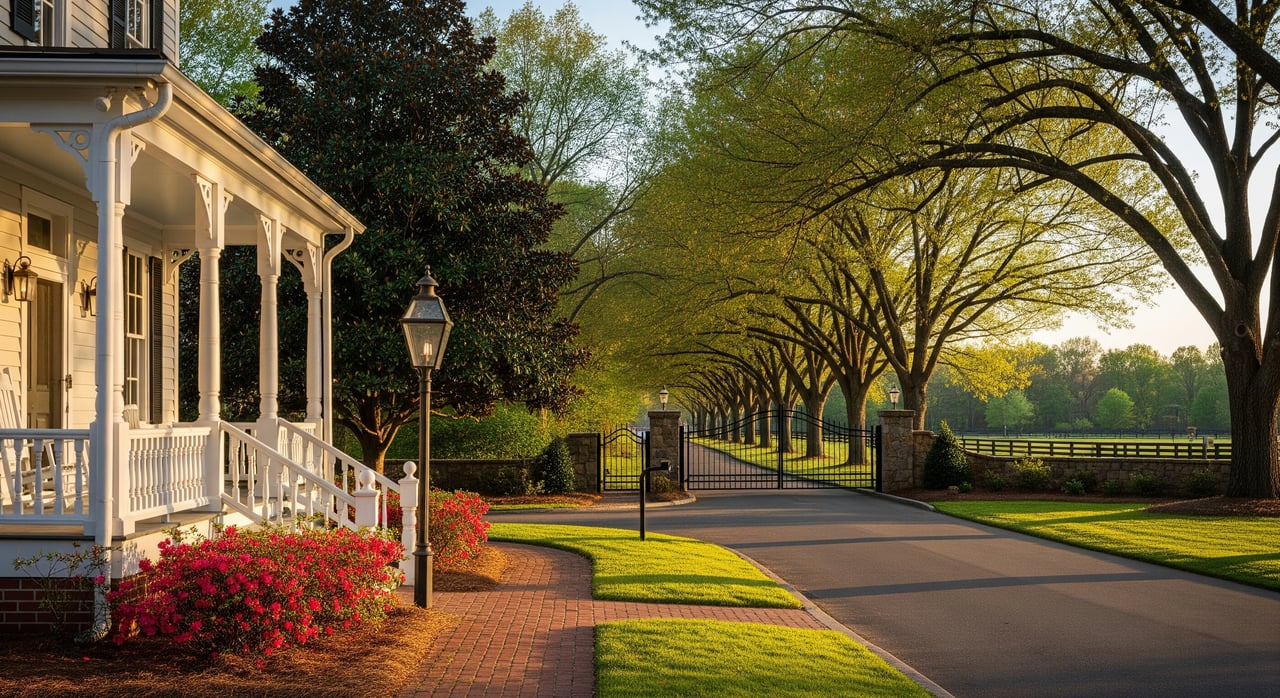
Selling a home near parks: smart moves
Showcase outdoor living with tidy landscaping, staged patios, and clear photos that highlight trail access. A simple wayfinding note in your listing materials can help buyers picture the walk or ride to nearby amenities. Be ready to discuss the rhythms of the area, such as foot and bike traffic during peak hours or seasonal events. If your property is near a creek, share what you know about past flooding evaluations and any mitigation improvements.
Future connections and how to read them
Regional greenway growth takes coordination across agencies and funding sources. In Matthews, new links often advance in stages like planning, design, and construction, sometimes with outside grants. You will see terms that matter for timelines. Planned means the concept is identified; funded means dollars are allocated; constructed means you can use it.
If you are timing a purchase or sale around a new connection, look for council-approved budgets or design agreements. That documentation offers a stronger signal than a map alone. Expect temporary closures or detours while bridges and boardwalks go in, especially near creeks. When completed, these upgrades can open safer, wider, and more direct routes to everyday destinations.
Quick planning checklist
- Choose your purpose: relax, play, run, ride, or commute.
- Pick the right setting: community park, neighborhood park, natural area, or paved greenway.
- Check the surface and grade: paved for wheels and strollers, natural for a quieter walk.
- Confirm logistics: hours, restrooms, water, and legal parking.
- Pack smart: water, sun protection, lights if returning near dusk, and pet supplies.
- After rain: expect closures in low spots and watch for slick boardwalks.
Equity and access across town
Matthews and regional partners plan greenways to connect neighborhoods with parks, schools, and downtown services. As the network grows, planners consider where access is limited and which links can fill gaps efficiently. That is why you may see priority corridors in one area before another. The goal is a connected townwide and regional system that serves many types of trips.
How we can help
If you want the lifestyle benefits of parks and greenways, we can help you find the right fit. Our team pairs local insight with a buyer concierge approach, so you understand routes, peak-use patterns, and due diligence steps near creeks. For sellers, we combine professional staging, high-quality presentation, and data-backed strategy to spotlight outdoor living and trail access. When you are ready to explore Matthews neighborhoods with confidence, connect with Jeremy Ordan for a friendly, no-pressure conversation.
FAQs
What should families with young kids look for in a Matthews park?
- Prioritize restrooms, shaded seating, and flat paved loops to keep outings simple and low stress.
Which Matthews greenways are best for everyday biking to downtown?
- Choose continuous paved segments with minimal on-street gaps for a smoother, low-stress ride.
How do I know if a home near a creek in Matthews is in a floodplain?
- Review FEMA flood maps during due diligence and consult local stormwater resources to verify risk and insurance needs.
Are dogs allowed on Matthews parks and greenways?
- Yes in most cases, but follow posted rules, keep pets leashed unless signed otherwise, and always pick up waste.
What is the difference between a planned and a funded greenway project in Matthews?
- Planned identifies the concept and route; funded indicates money is allocated and the project is moving toward construction.
Who maintains parks and greenways in Matthews?
- The Town of Matthews Parks & Recreation manages local facilities, with regional trail links coordinated with Mecklenburg County and the Carolina Thread Trail.