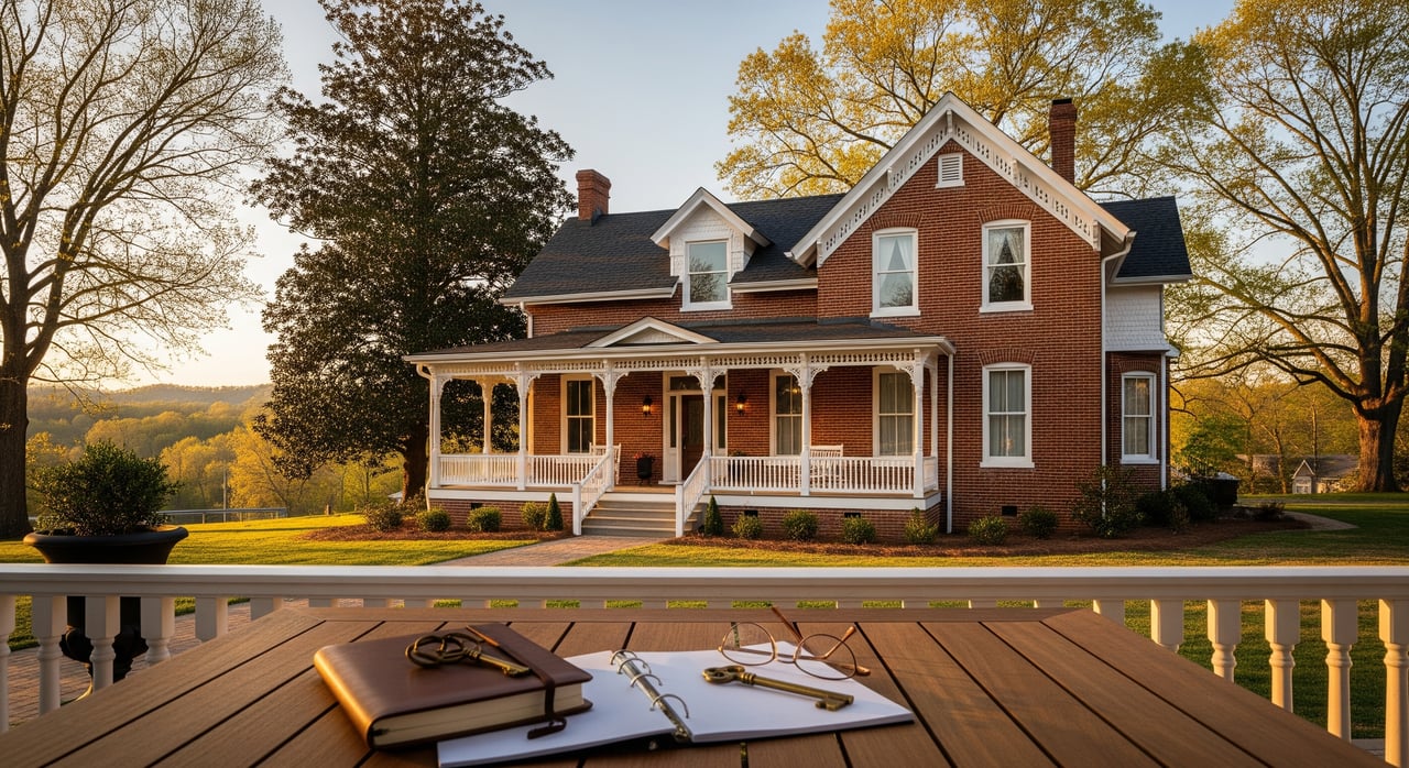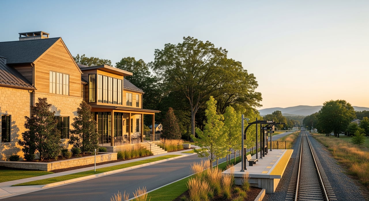
Curious if living near the planned LYNX Silver Line could boost your home’s value in Gaston County? You are not alone. Buyers, owners, and small investors across Belmont are watching the map and asking how proximity to a future station might change prices and opportunities. In this guide, you’ll learn what the Silver Line means for Belmont, how proximity typically affects value, how to evaluate parcels, and how to time decisions around key milestones. Let’s dive in.
Silver Line basics for Belmont
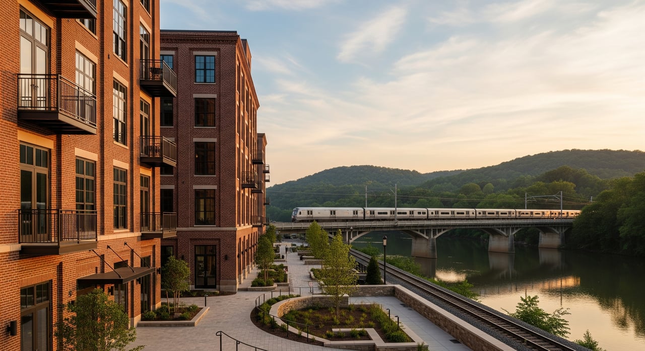
The LYNX Silver Line is a planned Charlotte-area transit extension advanced by Charlotte Area Transit System. Current plans describe service that would reach or terminate in the City of Belmont, with one or more station sites in or near downtown and along key corridors that connect into Charlotte’s network. The project is moving through planning and preliminary engineering, including environmental review, alignment confirmation, and funding sequencing.
Station footprints, right-of-way needs, park-and-ride details, and construction timing will depend on final environmental clearance and funding commitments. That is why following official updates is important as you plan.
Key stages to watch
- Project initiation and alternatives analysis, where route options and station locations are narrowed.
- Environmental review, where final alignment and major mitigation needs are set.
- Preliminary and final design, where station footprints, access, and utilities are detailed.
- Funding commitments and agreements across federal, state, and local sources.
- Right-of-way acquisition and utility relocation.
- Construction start and phased service opening.
Each stage can shift timelines and influence land values near potential stations.
How proximity to transit affects value
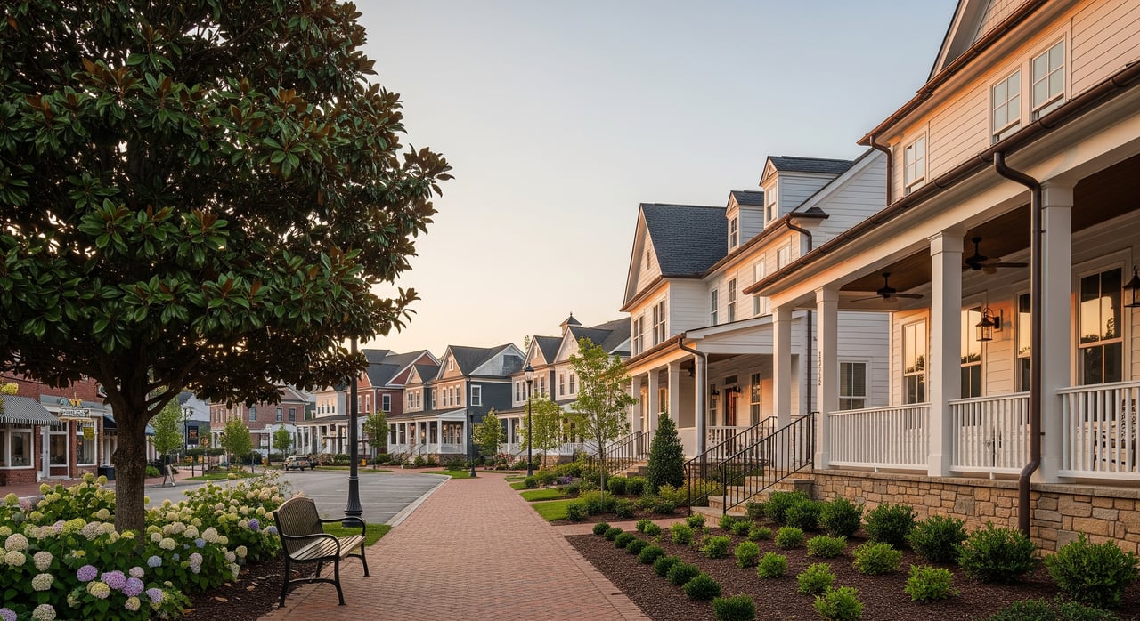
Across many U.S. markets, research shows a positive average premium for homes near high quality rail transit. The size of that premium varies by city, rail type, and station quality. Residential properties within a short walk, often inside a quarter mile, tend to see single digit to low double digit percentage uplifts on average, with effects that taper as distance increases. Results are strongest when service is reliable and frequent, stations are well integrated with surrounding streets, and the area supports walking and biking.
What may shape outcomes in Gaston County
- Service quality and access: Frequency, travel time to Charlotte job centers, and park-and-ride capacity can influence demand.
- Station area design: Walkable streets, safe crossings, and good integration with nearby uses help buyers take advantage of transit.
- Local zoning and capacity: The City of Belmont’s zoning and station-area planning will shape how much new housing and mixed-use development can be delivered near stations.
- Market fundamentals: Demand for rentals or for-sale homes, developable land, and construction costs will affect whether owners and builders capture value uplift.
The takeaway: Proximity matters, but the strength of the effect depends on service details, walkability, and local policy choices that will unfold over time.
Proximity tiers: where value tends to concentrate
If you are scouting homes or small investments, location bands can help you compare opportunities.
- Tier A: 0 to 0.25 mile. Highest walkability and potential to capture transit-oriented benefits.
- Tier B: 0.25 to 0.5 mile. Strong potential with a short walk or bike.
- Tier C: 0.5 to 1 mile. Edge of the walk shed. Good for larger sites or uses that rely on bikes, shuttles, or short drives.
- Tier D: Greater than 1 mile. Indirect benefits. May align with park-and-ride uses or non-residential opportunities.
Weight proximity heavily for residential or mixed-use strategies, especially if you expect frequent service and a strong pedestrian network.
A simple parcel scoring framework
To compare homes or land near a potential station, use a checklist and a scoring rubric. This helps you screen quickly and prioritize the best options.
What to evaluate
- Ownership and title complexity. Single owner is simpler than multiple parcels with liens or unresolved title issues.
- Parcel size and shape. Make sure the footprint supports your intended use, such as mid-rise infill or small mixed-use.
- Zoning and entitlements. Current zoning, allowed density or height, and the likelihood of a rezoning.
- Walkability and frontage. Block pattern, sidewalk quality, and safe crossings to reach the station.
- Vehicle access and parking. Existing curb cuts, potential for shared parking, and safe drive access.
- Topography and site constraints. Slopes, floodplain, wetlands, rock, or heritage trees.
- Environmental liabilities. Past uses, the need for Phase I or II assessments, and any known contamination.
- Utilities and infrastructure capacity. Sewer, water, stormwater, and electric capacity and upgrade needs.
- Historic designations. Preservation constraints can shape what you can build.
- Market and comps. Nearby sales, rents, occupancy, and recent development activity.
- Political and community support. Local council stance and likelihood of neighborhood support.
- Financial feasibility. Land cost per buildable square foot, construction costs, and achievable prices or rents.
- Timing sensitivity. Seller readiness and any restrictions or leases that affect use.
Example weighting
- Proximity 30 percent
- Zoning and entitlements 15 percent
- Size and shape 10 percent
- Environmental and topography 10 percent
- Utilities and infrastructure 10 percent
- Ownership complexity 8 percent
- Market feasibility 10 percent
- Political risk 7 percent
Use the total score to decide whether to pursue acquisition, negotiate an option, or continue watching.
Red flags to avoid
- Likely long environmental cleanup timeline.
- Significant slope or floodplain that cuts usable area.
- Preservation constraints that limit the desired density.
- Fragmented ownership with unwilling sellers and no clear assembly path.
- Weak municipal support for zoning or infrastructure that TOD needs.
Time your move with project milestones
Your strategy should match your risk tolerance and liquidity. Transit projects move through predictable stages, and each one changes the balance of risk and reward.
Stage 0: Long-lead monitoring
- What to do: Build relationships with local planners and brokers, map parcels, and gather data.
- Instruments: Minimal capital commitments. Consider small option fees only if pricing is attractive.
- Risk profile: Low cash exposure with informational gains.
Stage 1: After alignment confirmation and environmental decisions
- What to do: Negotiate short-term options or rights of first refusal on high-priority parcels. Explore assemblages.
- Instruments: Options, conditional contracts, and land banking with an exit plan.
- Risk profile: Speculative but less uncertain after key approvals.
Stage 2: After design and funding commitments
- What to do: Pursue rezoning, entitlements, and permits. Line up partners and financing.
- Instruments: Direct acquisition, joint ventures, or public-private proposals.
- Risk profile: Higher capital commitments as values often rise.
Stage 3: Construction underway
- What to do: Advance vertical construction or turnkey development. Time marketing to the opening.
- Instruments: Development equity and debt, mezzanine financing, or ground leases.
- Risk profile: Construction and market timing risk remain, but the location premium is clearer.
Stage 4: Post-opening
- What to do: Stabilize operations, refinance, or reposition to capture new demand.
- Instruments: Long-term hold strategies and improvements that support higher rents or values.
- Risk profile: Lowest speculative risk related to transit uplift.
Tactical tips for Silver Line timing
- Use short-term options or 60 to 180 day contracts to limit carrying costs while you watch environmental and alignment decisions.
- Favor sites that can deliver moderate density quickly, such as mid-rise multifamily or mixed-use, over one-off single-lot projects that require complex rezoning.
- For assemblages, secure an anchor lot first to unlock neighboring deals.
- Coordinate early with the City of Belmont on station-area planning and potential local incentives.
Financing and incentive tools to track
- Value capture. Tools like tax increment financing or special assessment districts can help fund streets, utilities, or shared parking.
- Joint development. Opportunities near publicly controlled parcels may open through requests for proposals.
- Affordable housing. Tax credit programs and local incentives can support mixed-income projects.
- Grants. State and federal programs sometimes fund transit-adjacent infrastructure or planning.
- Private capital. Bridge loans, construction loans, and joint venture equity can support timing and build-out.
Smart next steps for buyers, owners, and small investors
If you are buying a home
- Focus on Tier A and B locations if you want to maximize transit benefits, and evaluate sidewalk connectivity carefully.
- Ask about planned station access, potential park-and-ride traffic, and likely pedestrian routes.
- Budget for near-term improvements if the area is poised for zoning changes or streetscape work.
If you are a homeowner considering selling
- Track milestones like alignment confirmation or funding commitments. Listing shortly after good news can expand your buyer pool.
- Optimize presentation. Staging and strong digital marketing help capture interest from buyers seeking long-term transit access.
- Price with data. Use nearby comps while considering emerging demand for walkable locations.
If you are a small investor or builder
- Use the scoring rubric to rank parcels inside a half mile of proposed stations.
- Get Phase I environmental work on priority sites before you commit capital.
- Line up local partners early, including planners, utility reps, and lenders, to reduce entitlement risk.
How we can help locally
You deserve clear guidance as plans evolve. Our team pairs deep Charlotte-area knowledge with a hands-on client experience. We help you track credible project milestones, analyze proximity and zoning trade-offs, and price or position your purchase or sale with data and polished presentation. Whether you want a home in a future walk shed or you are weighing the right time to list, we will make the process easier and more rewarding.
Ready to explore your options near the planned Silver Line in Belmont and across Gaston County? Start a conversation with Unknown Company. Start your next move with a trusted team — let's talk.
FAQs
What is the LYNX Silver Line’s current status in Belmont?
- The project is in planning and preliminary engineering, including environmental review and alignment confirmation. Station footprints and timelines depend on final clearances and funding.
How close to a future station should I buy to see potential benefits?
- Studies often show the strongest effects within a quarter mile of high quality transit, with benefits tapering as distance increases. Actual results vary by service, walkability, and local policy.
Will every Belmont property near the Silver Line rise in value?
- Not necessarily. Multifamily and mixed-use near station entrances often capture the most value. Single-family parcels may see limited uplift without supportive zoning and strong pedestrian access.
When is the best time to invest around a planned station?
- Many investors act after alignment and environmental decisions reduce uncertainty. Others move earlier with options to limit risk. Match your approach to your risk tolerance and timeline.
What due diligence should I do before making an offer?
- Confirm zoning and allowable density, check floodplain and environmental history, verify utility capacity, and gauge local support for station-area changes. Consider a Phase I environmental review on priority sites.